
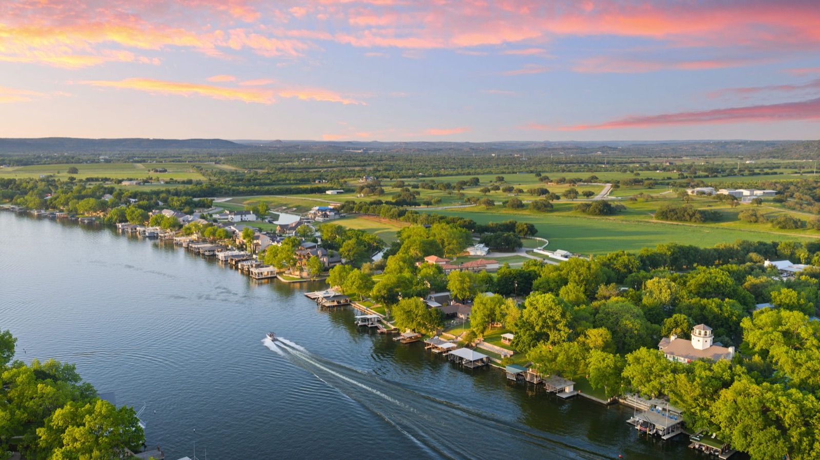
What are the Highland Lakes?
The Highland Lakes are a series of lakes on the Colorado River, managed in this region by the Lower Colorado River Authority (LCRA). The chain is commonly framed as including Lake Buchanan, Inks Lake, Lake LBJ, Lake Marble Falls, and Lake Travis, with Burnet County towns like Burnet and Marble Falls serving as the everyday hubs. The area sits in the Texas Hill Country, west of Georgetown and the rest of Williamson County real estate, and draws full-time residents, retirees, weekenders, and land buyers.
For real estate purposes, the most important distinction is how each lake is operated. Some Highland Lakes are managed primarily for water supply and can rise and fall significantly with drought and rainfall, while others are held closer to a constant level. That difference shapes everything from boat-dock usability to long-term enjoyment, so confirm the operating profile of the specific lake with the LCRA before assuming a steady shoreline (lcra.org).
Waterfront vs. water access: know what you're buying
"On the lake" can mean several very different things, and the price gap between them is real:
| Listing type | What it usually means | What to verify |
|---|---|---|
| True waterfront | Parcel touches the water; may include private dock rights | Boundary, dock permit, water-line setbacks |
| Waterview | Sees the lake but does not touch it | No deeded access unless stated |
| Deeded / community access | Shared ramp, park, or dock via a POA | Access rules, fees, capacity |
| Off-water acreage | Land in the lake area, no water rights | Road and utility access |
A listing described as "lake" property is not necessarily waterfront, and a waterfront parcel does not automatically include the right to build a private dock. Dock construction and shoreline use are typically regulated, and permits can take time. Always confirm the exact category in writing and map the boundary against the shoreline at current and historic lake levels.
Wells, septic, and rural utilities
Many Highland Lakes properties sit outside city water and sewer service, which means private wells and on-site septic systems (OSSFs). These are normal for the area, but they change the inspection checklist:
- Water source: A property may be on a public water system, a shared system, or a private well. For wells, ask about depth, flow rate, water quality testing, and equipment age.
- Septic: On-site septic systems require permits and periodic maintenance; some aerobic systems carry service contracts. Confirm the system type, permit history, and tank/field condition.
- Electricity, propane, and internet: Confirm which utility serves the parcel and whether broadband or only satellite/fixed-wireless is available.
Build these into your contract and inspection timeline early, since well and septic evaluations are not part of a standard home inspection.
Insurance, flood, and lake-level considerations
Insurance on lake-area property can be more involved than on a typical suburban home. Parcels near the water or along creeks and drainages may fall in a designated flood zone, which can trigger flood-insurance requirements from a lender. Standard homeowners policies generally do not cover flood, so a separate policy may be needed. Check the flood-zone designation through FEMA's flood map service (msc.fema.gov) and price coverage early, because it affects your monthly cost.
Lake levels themselves are a planning factor, not just an insurance one. On lakes managed for water supply, a long drought can leave docks and boat ramps high and dry for extended periods, while heavy rain events upstream can raise levels quickly. Ask the LCRA about the operating history of your specific lake and factor that into how you'll actually use the water.
Deed restrictions, POAs, and short-term rentals
Hill Country lake communities range from unrestricted ranch land to gated subdivisions with active property owners' associations (POAs). Restrictions can govern building size and materials, livestock, dock styles, and — increasingly important for second-home buyers — short-term rentals.
If you plan to offset costs by renting the home on a nightly or weekly basis, do not assume it's allowed. Short-term-rental rules can come from a city ordinance, a county rule, or a subdivision's deed restrictions, and they change over time. Get the current rules in writing for the specific property before you count on rental income.
Road access and land specifics
For acreage and off-water parcels, access and boundaries deserve as much attention as the view:
- Legal access: Confirm whether the parcel fronts a public road or relies on a recorded easement. Unrecorded or "handshake" access is a risk.
- Survey: A current survey clarifies boundaries, encroachments, and easements — valuable on irregular Hill Country tracts.
- Floodplain and topography: Steep terrain, dry creek beds, and rock can affect where you can build and what it costs.
- Ag or wildlife valuation: Some larger tracts carry special-use valuations that affect property taxes; verify status and rollback exposure with the appraisal district and a tax professional.
Who Highland Lakes property suits
This market tends to fit buyers who want a weekend or retirement retreat within driving distance of Austin, boaters and anglers who value water access, and land buyers looking for acreage and Hill Country views. It rewards people who are comfortable with rural systems and a slower, verify-everything pace. Buyers who need turnkey convenience, predictable HOA-managed suburbia, or a short commute to north Austin jobs may be better served closer in — for example in Williamson County real estate communities. The nearby towns of Burnet, TX and Marble Falls, TX offer different gateways into the same lake region.
Lake-property due-diligence checklist
Before you write an offer on Highland Lakes property, line up answers to these:
- Is it true waterfront, waterview, or deeded/community access? Get it in writing.
- What lake is it on, and is that lake held constant or managed for water supply?
- Current and historic lake levels; LCRA operating conditions.
- Dock permit status and shoreline-use rules (if applicable).
- Water source: public, shared, or private well — plus flow and quality.
- Septic/OSSF type, permit history, and condition.
- Flood-zone designation and flood-insurance cost.
- Deed restrictions, POA dues/rules, and short-term-rental rules.
- Legal road access and a current survey.
- Property tax picture, including any ag/wildlife valuation.
Always verify school zones, tax rates, district boundaries, and restrictions with the county, the appraisal district, the relevant school district, your lender, a title company, or a tax professional. Treat any number you see online as a starting point, not a settled fact.