
There is no best area near Georgetown—there's a best area for a given commute, budget, property type, and tolerance for change. Here's the map, organized the way decisions actually get made.
Ask five Williamson County homeowners where to live near Georgetown and you'll get five confident, contradictory answers—each one correct for the person giving it. The Round Rock commuter, the Jarrell first-time buyer, the Florence acreage owner, and the downtown Georgetown walker all optimized for different things. None of them is wrong; they were solving different problems.
That's why this guide refuses to rank. Rankings flatter whoever shares the ranker's priorities and mislead everyone else. Instead, this is a working comparison of Georgetown and its neighbors—Liberty Hill, Leander, Round Rock, Cedar Park, Hutto, Jarrell, Taylor, Florence, and the rural county—across the factors that actually separate them: commute geometry, housing stock, tax structures, utilities, development pattern, and daily amenities.
Use it to shortlist two or three areas that fit the job your next home needs to do. Then go drive them—at rush hour.
How to Use This Guide
Every area below is described on the same six dimensions. A quick vocabulary note on two of them. Development pattern means where the area sits in its growth arc: established (mostly built out, changes slowly), maturing (major growth wave largely absorbed), or emerging (much of what will define the area isn't built yet). Neither end is better —established buys certainty, emerging buys newer housing stock and lower entry pricing, with more change to underwrite. Tax structure is a reminder that list prices lie: newer communities anywhere on this map may carry MUD taxes or PID assessments that materially change monthly cost, so total tax rate is compared address by address, never town by town.
Georgetown: The Reference Point
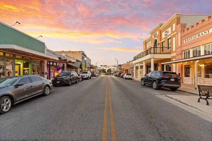
Georgetown anchors the comparison because it offers the widest spread of options in one place: a historic, walkable core; established subdivisions from every decade; the Sun City active-adult community; large master-planned communities still building; and edges that shade into acreage. It sits directly on I-35 with SH 130 nearby, carries a full complement of in-town services and healthcare, and—as the county seat of one of America's fastest-growing counties—remains in an active growth phase, especially west and east of the core. Addresses may fall in Georgetown, Liberty Hill, or Leander ISD; verify by address. If Georgetown has a limitation, it's that its breadth comes with growth's frictions: construction, traffic evolution, and school-boundary movement.
The Northwest: Liberty Hill
Commute: SH 29, US 183, Ronald Reagan Boulevard, and the 183A corridor; road projects are actively reshaping access. Property type: predominantly newer master-planned communities plus a live acreage-and-custom market; established mid-age subdivisions are scarce. Development pattern: emerging—this is the map's clearest bet on a corridor still maturing. Amenities: growing commercial base; many errands route to Leander or Georgetown for now. Liberty Hill fits buyers who want newer homes or land with Hill Country character and accept construction-era logistics in exchange.
The Southwest: Leander and Cedar Park
Leander pairs large-scale master-planned building (Travisso, Bryson, and others) with a transit card no neighbor holds: the CapMetro Rail line's northern terminus, useful for certain Austin commutes. The 183A tollway is its spine. Development pattern: maturing fast, with substantial retail arriving. Cedar Park is the further-along version—a largely built-out, established suburb with deep retail, employment, and entertainment (including the H-E-B Center), mostly resale housing stock, and correspondingly less construction disruption. Broadly: Leander for newer construction and rail access; Cedar Park for established suburban convenience closest to northwest Austin employers. Both sit mostly in Leander ISD—verified, as always, by address.
The South: Round Rock
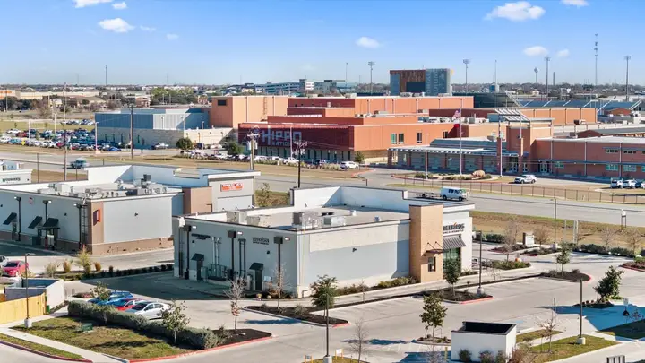
Round Rock is the county's employment heavyweight—Dell's headquarters, major medical centers, extensive retail including an outlet hub—which makes it the strongest candidate on this map for shortening a commute rather than making one. Housing is predominantly established suburban stock with pockets of newer building; the development pattern is mature, so surroundings are predictable. It sits at the I-35/SH 45/SH 130 junction with the toll network radiating outward. Round Rock fits buyers optimizing for job access, services density, and an established neighborhood feel—and it's often the pragmatic compromise when one household member commutes south and the other north.
The East: Hutto and Taylor
Hutto, along US 79 east of Round Rock with quick SH 130 access, has grown from small town to full suburb inside two decades—a maturing market of predominantly newer subdivisions at price points often below the county's western half. Taylor, further out US 79, is the map's most interesting wildcard: a historic small-town core with genuinely affordable housing, now absorbing the effects of major industrial investment nearby. Its trajectory—and its infrastructure—are actively being rewritten; buyers there are underwriting change more than continuity. Both fit buyers trading western-corridor polish for price, space, and SH 130 commute geometry toward Austin's eastern employment growth.
The North: Jarrell
Jarrell, straight up I-35 from Georgetown, is the corridor's entry-price leader: predominantly new production-builder communities where the housing dollar stretches furthest. The tradeoffs are structural, not cosmetic—services, retail, and healthcare largely still route to Georgetown; many communities carry MUD financing; and the town is early in its development arc, so buyers are betting on services catching up to rooftops. For budget-led buyers who commute along I-35 and want new construction, Jarrell is the honest math; for buyers who need amenities today, it will feel early.
The Rural Ring: Florence, Weir, Granger, and the County Edges
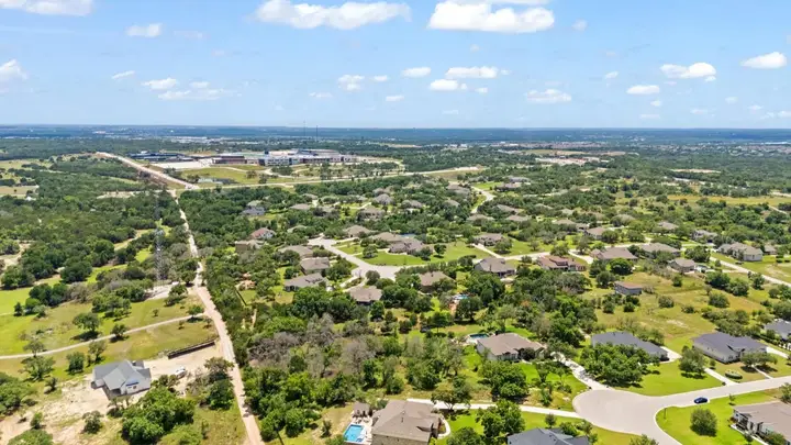
West and northeast of the growth corridors, Williamson County still offers what brought many Texans here in the first place: acreage, quiet, and sky. Florence anchors the northwest's acreage-and-small-ranch market; Weir, Granger, Thrall, and Coupland hold down the agricultural east. Property here means wells or small water-supply corporations, septic systems, county-maintained (or private) roads, and often agricultural exemptions with their own tax mechanics. There is no city service stack—which cuts taxes and amenities alike. The fit: buyers who want land as a feature, not a view, and who'll trade drive time for it. Diligence shifts accordingly: water, septic, floodplain, easements, and road maintenance replace HOA documents as the reading list.
The Decision Table: Start From Your Priority
| If your top priority is… | Start your search in | Why | The tradeoff to underwrite |
|---|---|---|---|
| Shortest commute to major employers | Round Rock, Cedar Park | Jobs and services in town; established roads | Older stock; higher entry pricing for equivalent size |
| Maximum house per dollar (new build) | Jarrell, Hutto | Entry-priced new construction volume | Services still catching up; MUD/PID common |
| Acreage and elbow room | Florence, Liberty Hill edges, eastern county | Live land market; fewer restrictions | Wells/septic diligence; drive time to services |
| Walkable historic core | Georgetown (Old Town), Taylor | Genuine pre-war fabric and town squares | Limited inventory; older-home maintenance |
| Newer master-planned amenities | Liberty Hill, Leander, Georgetown west | Active communities with current amenities | Buildout phases; special-district taxes |
| Rail or toll commute options | Leander (rail), SH 130 corridor towns | CapMetro Rail terminus; toll geometry | Rail serves specific destinations; tolls add cost |
| 55+ community living | Georgetown (Sun City) | The state's largest active-adult community | Age restrictions; HOA structure |
| Betting early on a growth corridor | Taylor, Jarrell, Liberty Hill | Earliest in their development arcs | More variance; infrastructure timing risk |
Schools are deliberately absent from this table: district boundaries cross town lines throughout this map, and assignments change as districts grow. Whatever area you shortlist, verify current campus assignments by exact address with the district and review campus information at txschools.gov before contracting.
The Bottom Line
The Georgetown area's real luxury is range: within a thirty-minute radius you can buy a historic bungalow, a lakeside retirement home, a brand-new build at the corridor's lowest prices, or ten quiet acres. The mistake is shopping that range with someone else's ranking. Define the job—commute, property type, monthly cost, tolerance for change—shortlist from the table, then verify the address-level facts: total tax stack, school assignment, utilities, and what's platted next door. That's the whole method, and it works in every one of these towns.
Development patterns, road projects, tax structures, school boundaries, and relative pricing across these communities change continuously; characterizations here are current only as of mid-2026. Verify current conditions for any specific address with the county, the appraisal district, the school district, and TxDOT before deciding.